

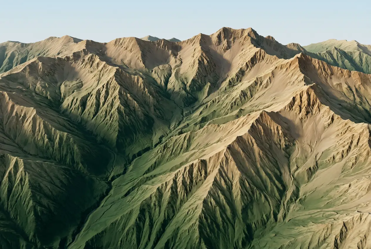
See our complete service catalog.
Every solution we sell and every industry we serve, three ways: by solution, by industry, or all seven data products side by side.
Site Record
You need a dated, complete picture of a site exactly as it is today.
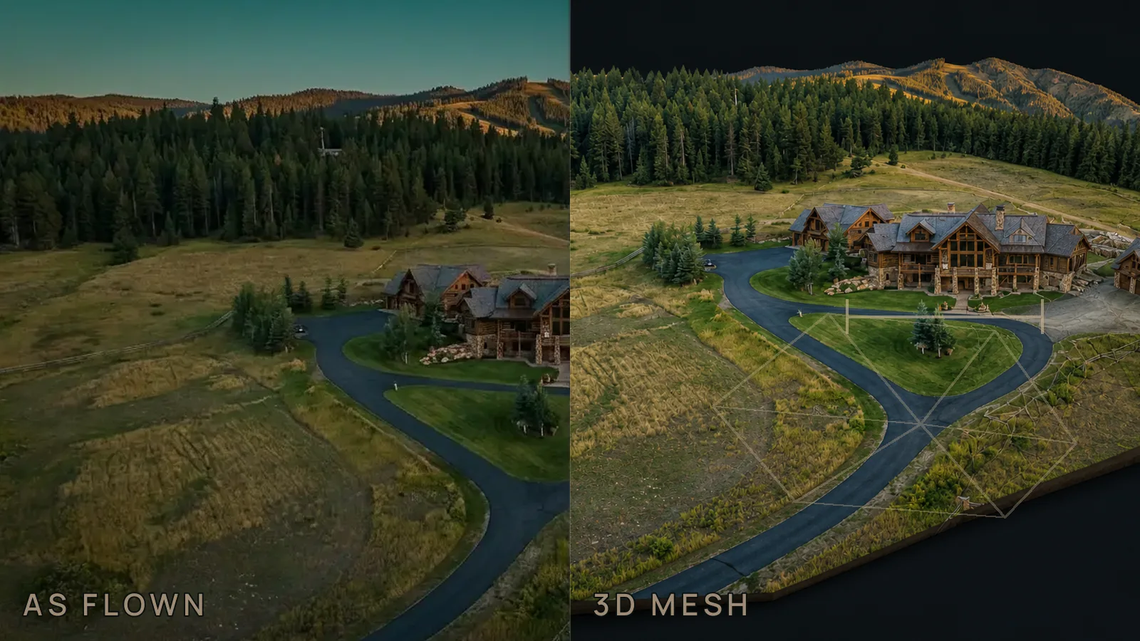
A dated visual and spatial record of visible site condition, claiming no more evidence than the decision requires.
One-time condition, progress, permitting context, property review, or field planning.
Owners, insurers, and public agencies · One-time
Defined visual and spatial use. A surveyed design surface or legal boundary requires separate scope.
Measured Site Baseline
You’re starting a project and need a measured, checkpoint-verified starting point.
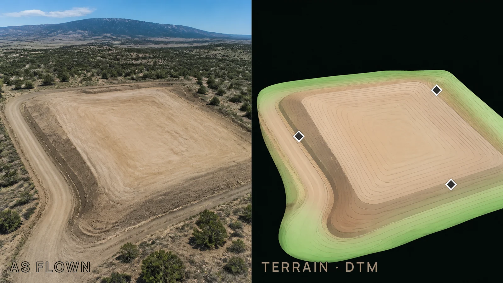
A controlled starting surface for design, earthwork, drainage, or later comparison, with checkpoint evidence where tested accuracy is required.
Project kickoff, preconstruction condition, grading, drainage, or topographic design context.
Surveyors, civil engineers, and project managers · Project kickoff
The accuracy mode and any licensed survey coordination are agreed before capture.
Quantity / Change Cycle
You need volumes or change measured against a baseline, on a schedule.
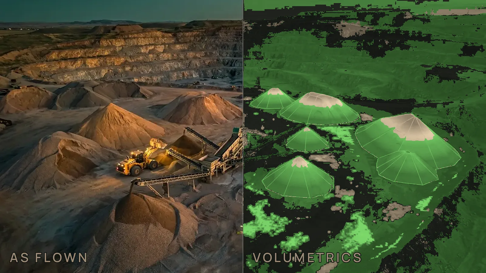
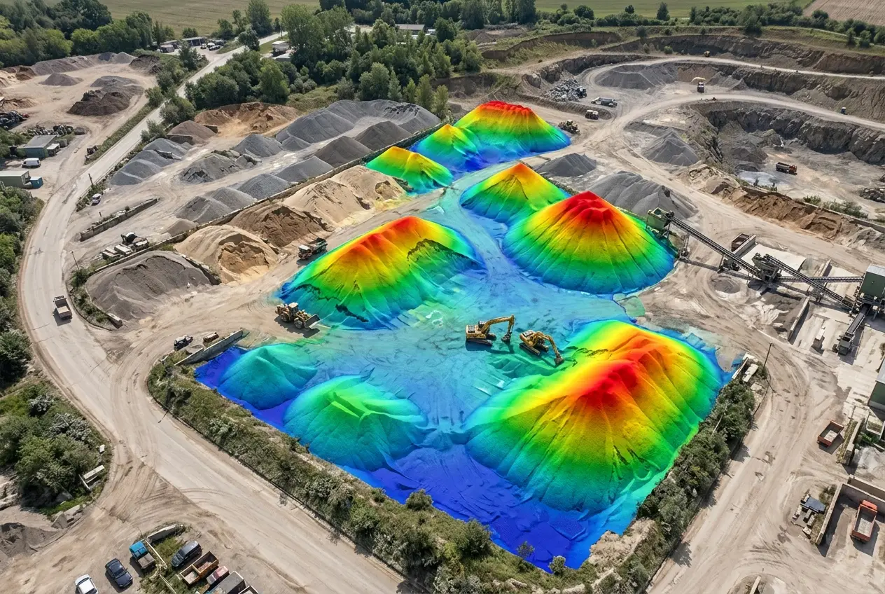
Material or surface change measured against a defined baseline, boundary, and comparison method, with the method disclosed each cycle.
Stockpiles, cut and fill, monthly close, pay applications, production, or progress review.
Mining, earthwork, and project managers · Recurring, on your reporting cadence
An accepted baseline and a consistent method are required. Tonnage needs a density you supply.
Continuous Site Intelligence
Current site conditions drive your decisions and you want a standing program.
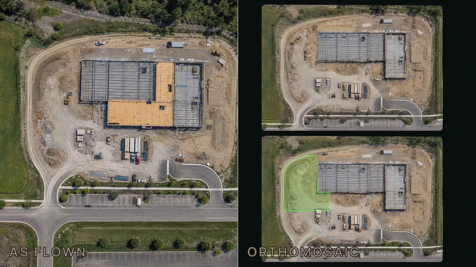
A comparable, dated record for sites where current condition repeatedly drives operating or project decisions, with version history in a private portal.
Active construction, mining, aggregates, land management, or another recurring operating cycle.
Program managers and active sites · Ongoing
Area, cadence, control, and comparison method stay defined across every cycle.
Accuracy Verification Package
You already hold aerial data and need it independently checked.
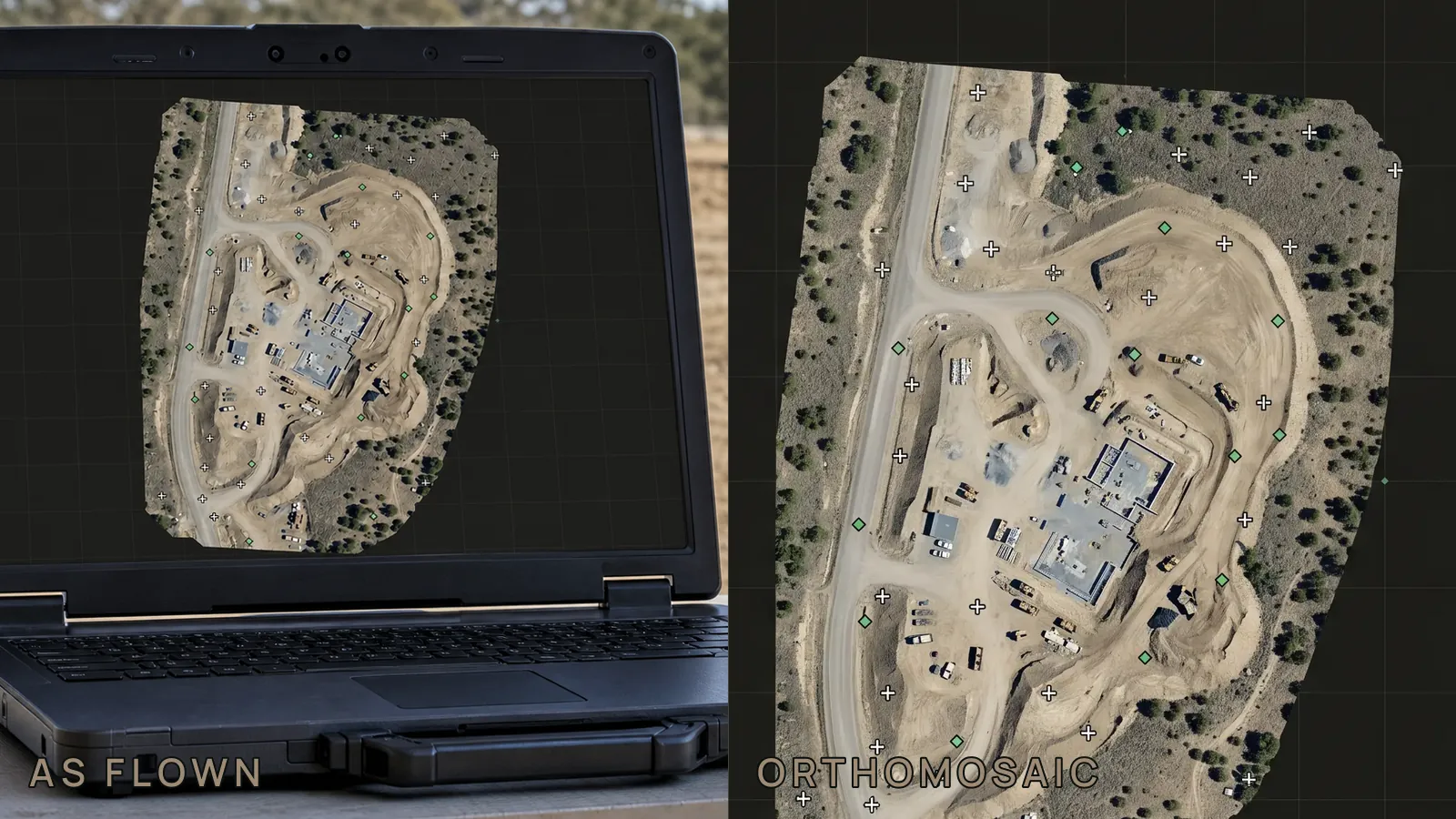
Independent testing of aerial data your team already holds, whether Outlook UAS, another vendor, or an internal program produced it: checkpoint count, documented RMSE, and an ASPRS accuracy class statement.
Survey, QA/QC, agency, or program teams that need measured evidence for an existing dataset.
Surveyors, QA/QC teams, and agencies · Add-on to any data, ours or anyone else’s
Verification is independent of the original producer and does not replace licensed survey authority where required.
White-label UAS Data Acquisition
You’re a survey or engineering firm and need flying done to your spec, under your charge.
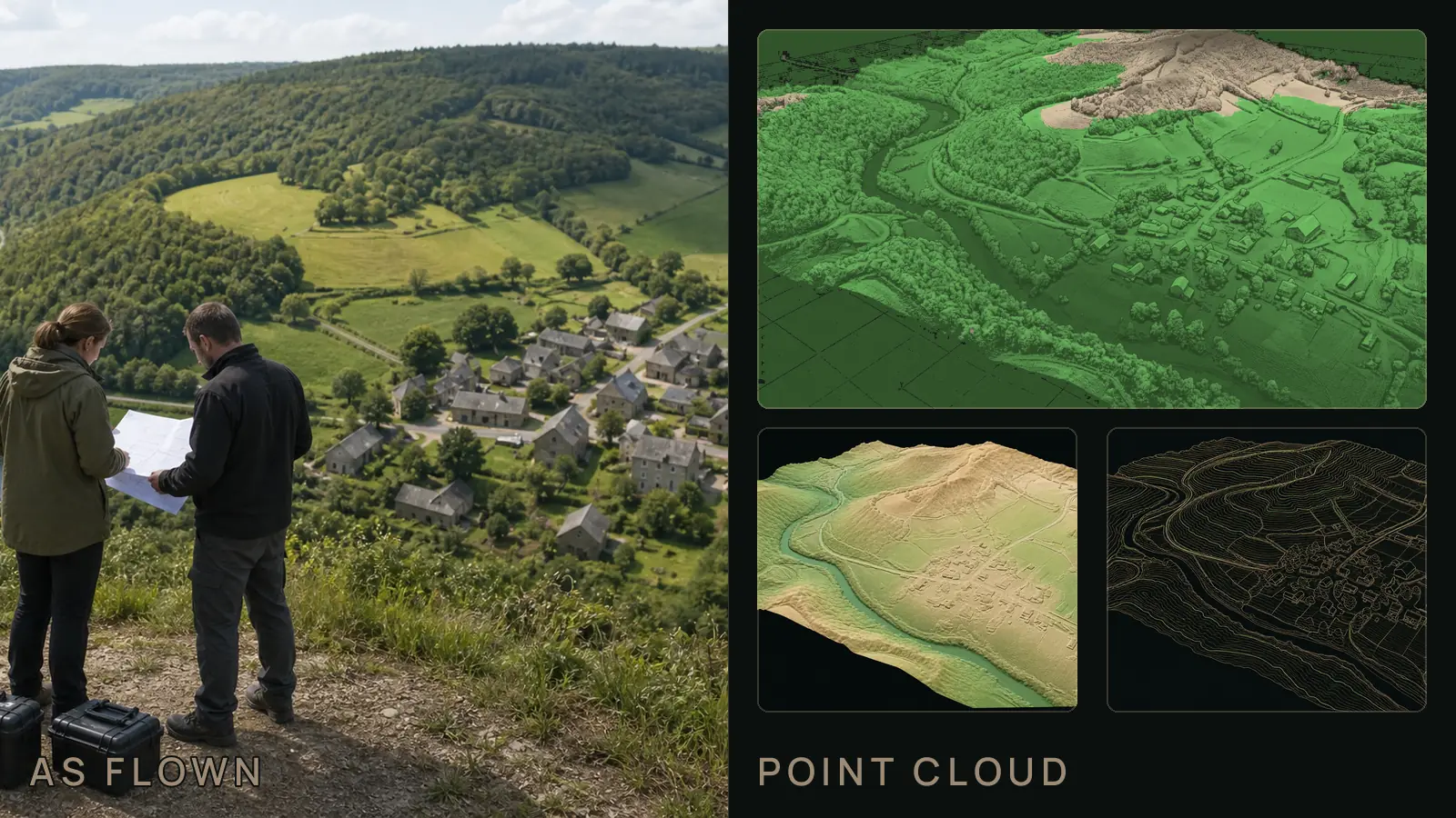
Aircraft, crew, and agreed processing capacity added under your specification, without giving up the client relationship or the professional boundary.
Survey and engineering firms that need additional field capacity under their own specification.
Survey, engineering, and geomatics firms · Subcontract
The licensed professional retains responsible charge wherever law or contract requires it.
Two solutions sit beside the sequence. Accuracy Verification checks data that already exists. White-label acquisition adds capture capacity under another firm’s specification and responsible charge.
Method disclosed on delivery. Methodology packet with the exact processing chain, ground-control accuracy, GSD, and ASPRS test points.
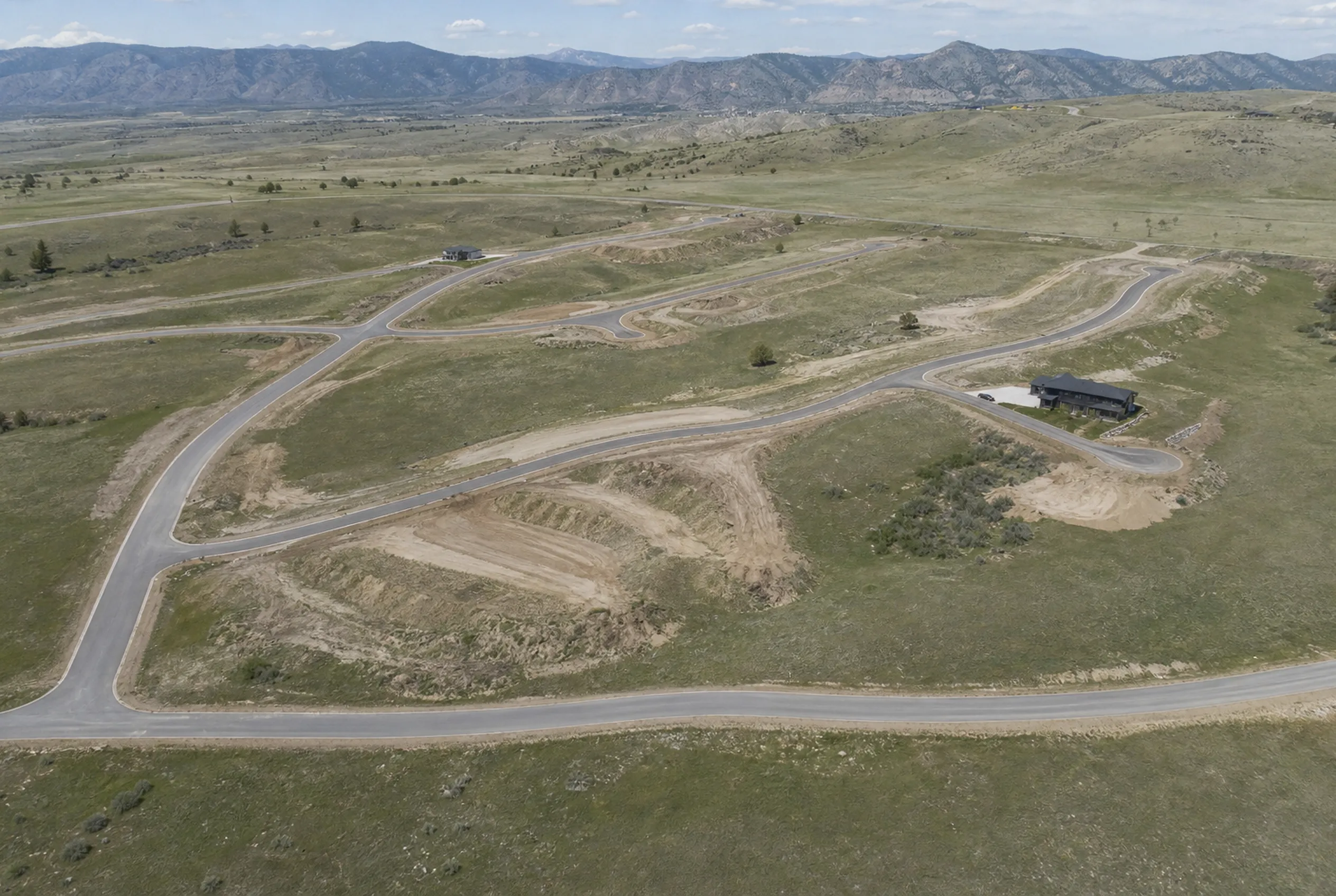
Property & architecture
Listings, master plans, and design context, from above, in 3D.
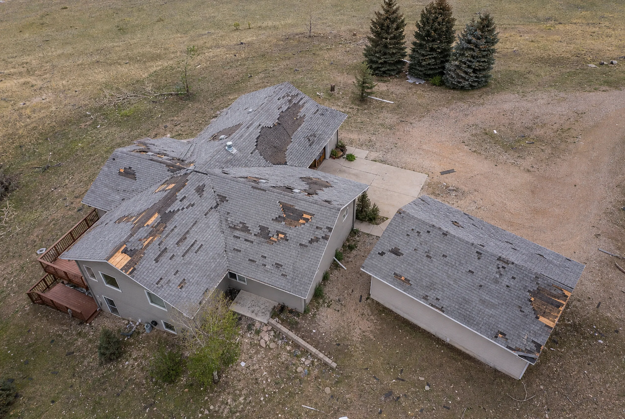
Insurance & claims
Documented damage, complete records, claims supported by measured evidence.
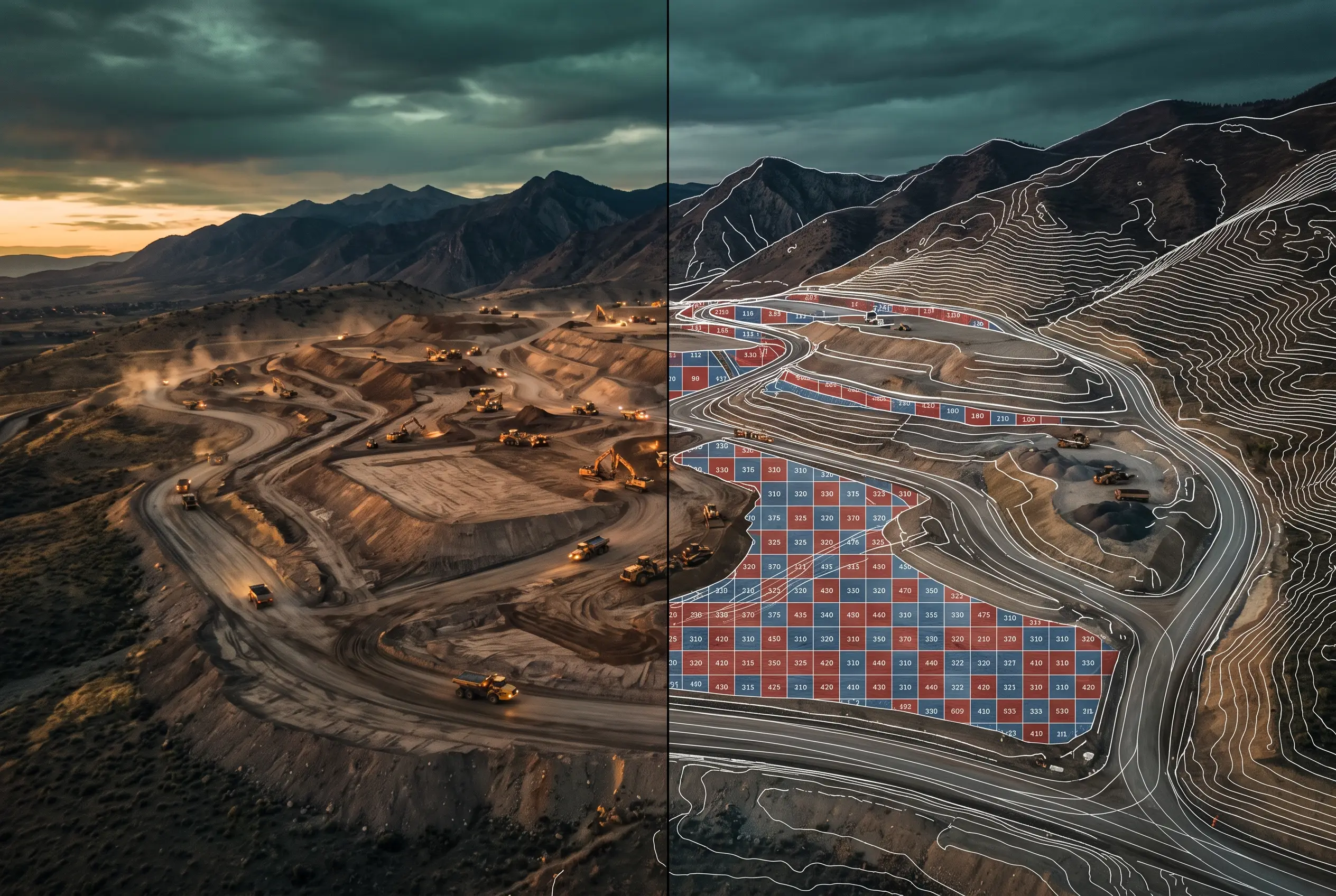
Civil & construction
Existing-conditions topo, the permit, and progress, from a single-day capture.
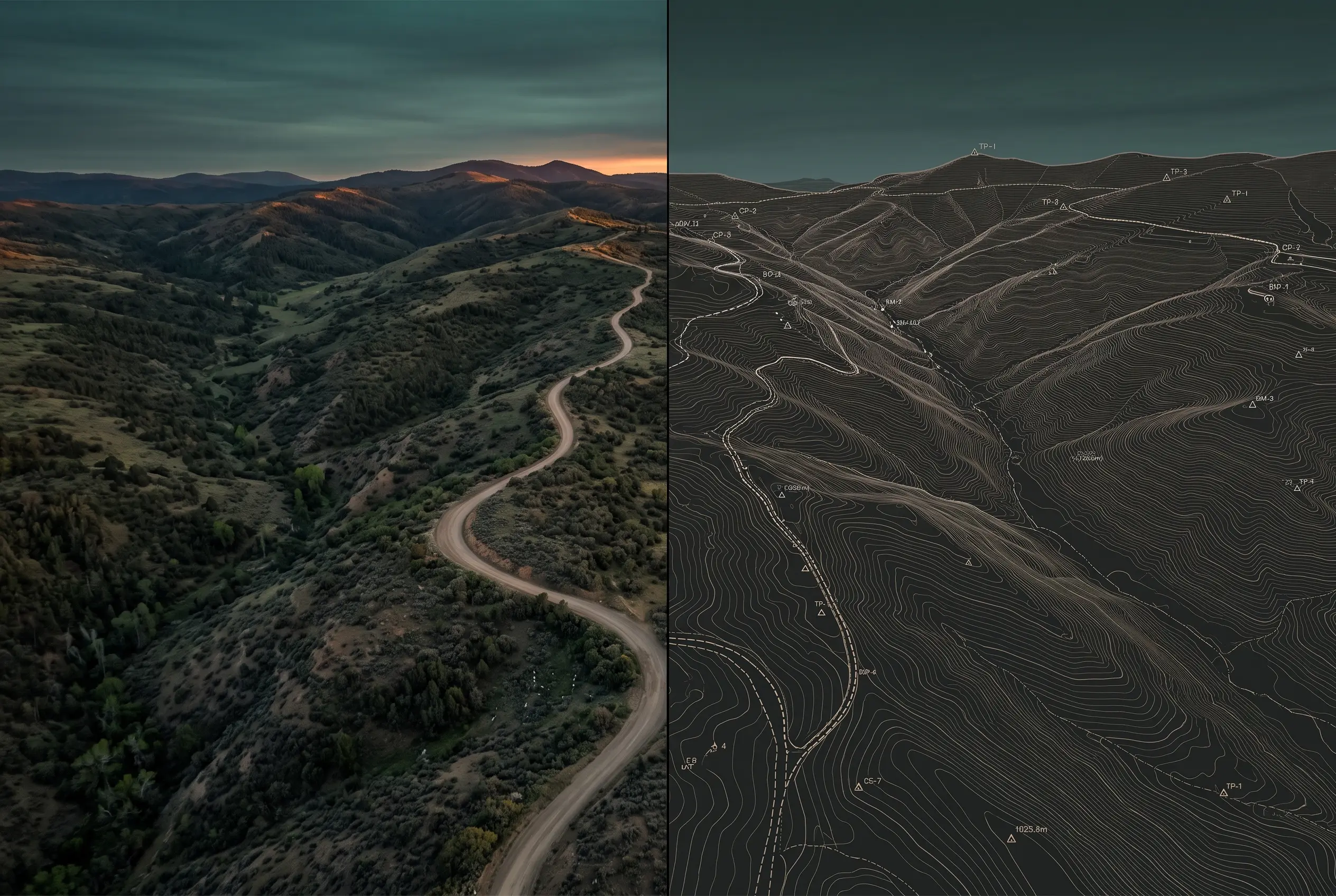
Land surveyors
Add aerial capacity without adding field crews, flown to your spec, under your responsible charge.
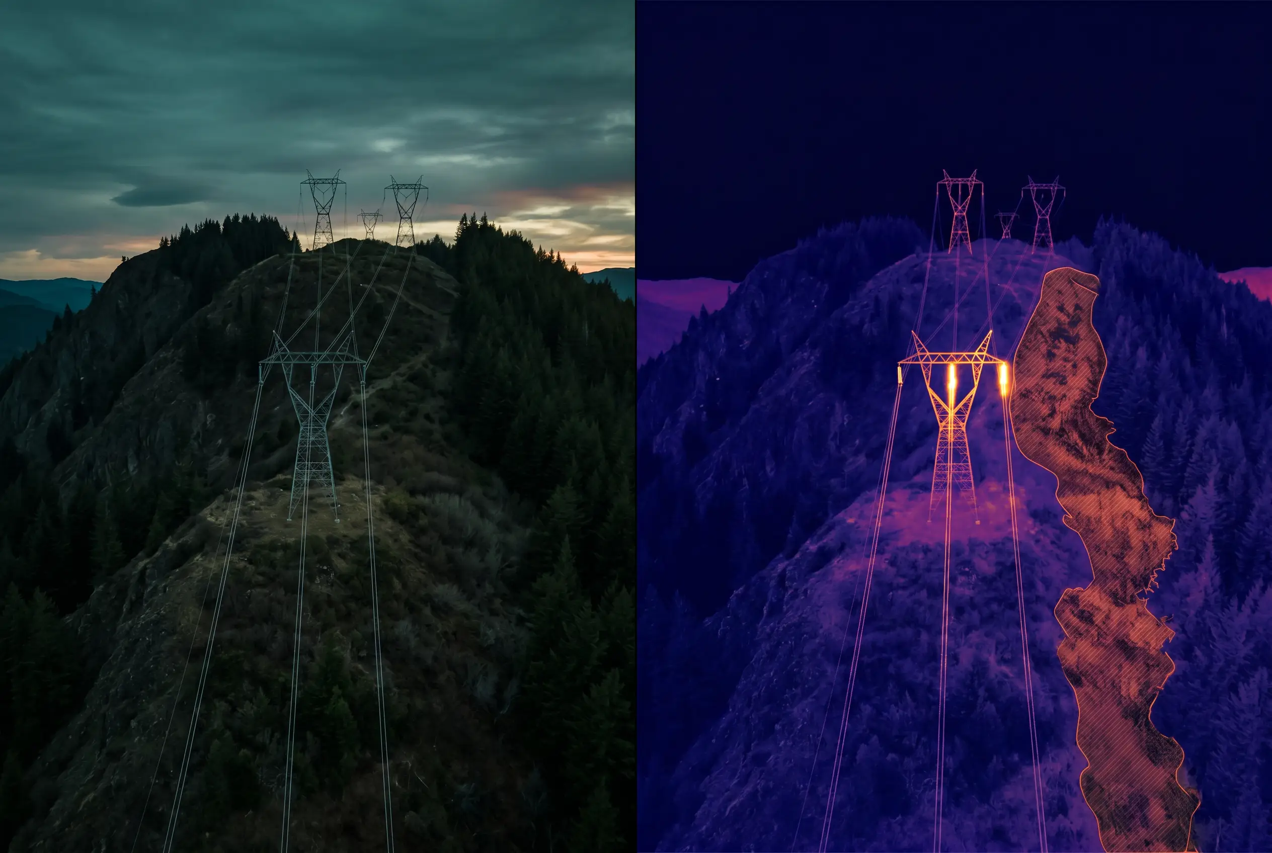
Energy, utilities & pipeline
Find the encroachment and the damage while they are still cheap to fix.
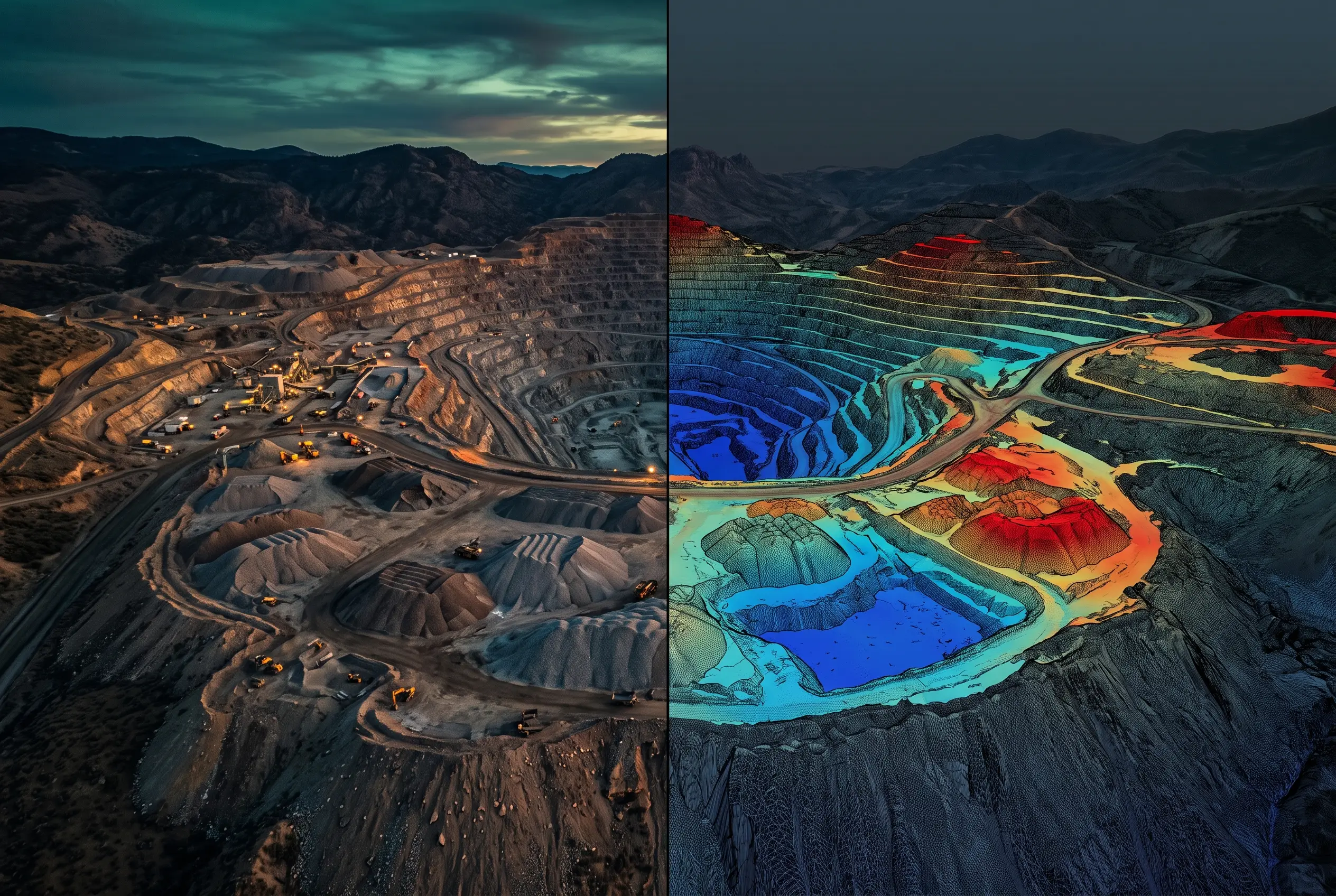
Mining & aggregates
Stockpile volume on your close cadence, method disclosed each time, crews off the pile.
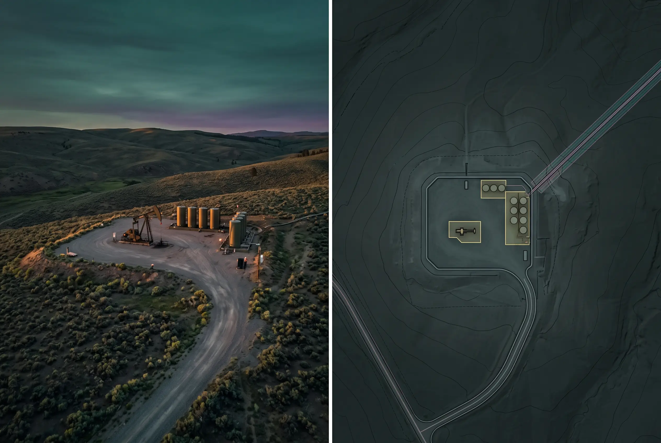
Oil & gas / petroleum
Well, tank, and corridor condition across the whole field in a day.
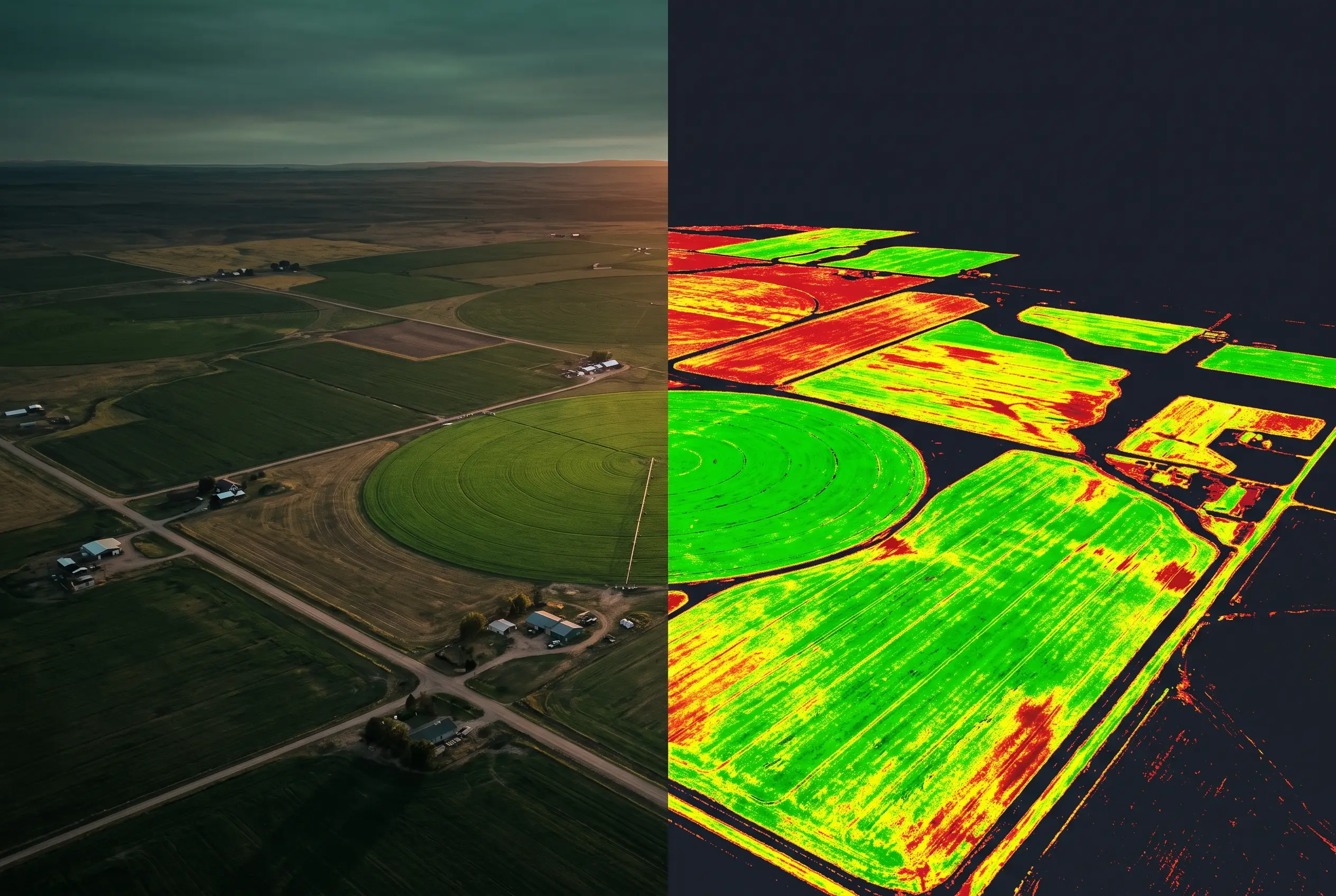
Agriculture
See every acre, access, water, drainage, and where to walk first.
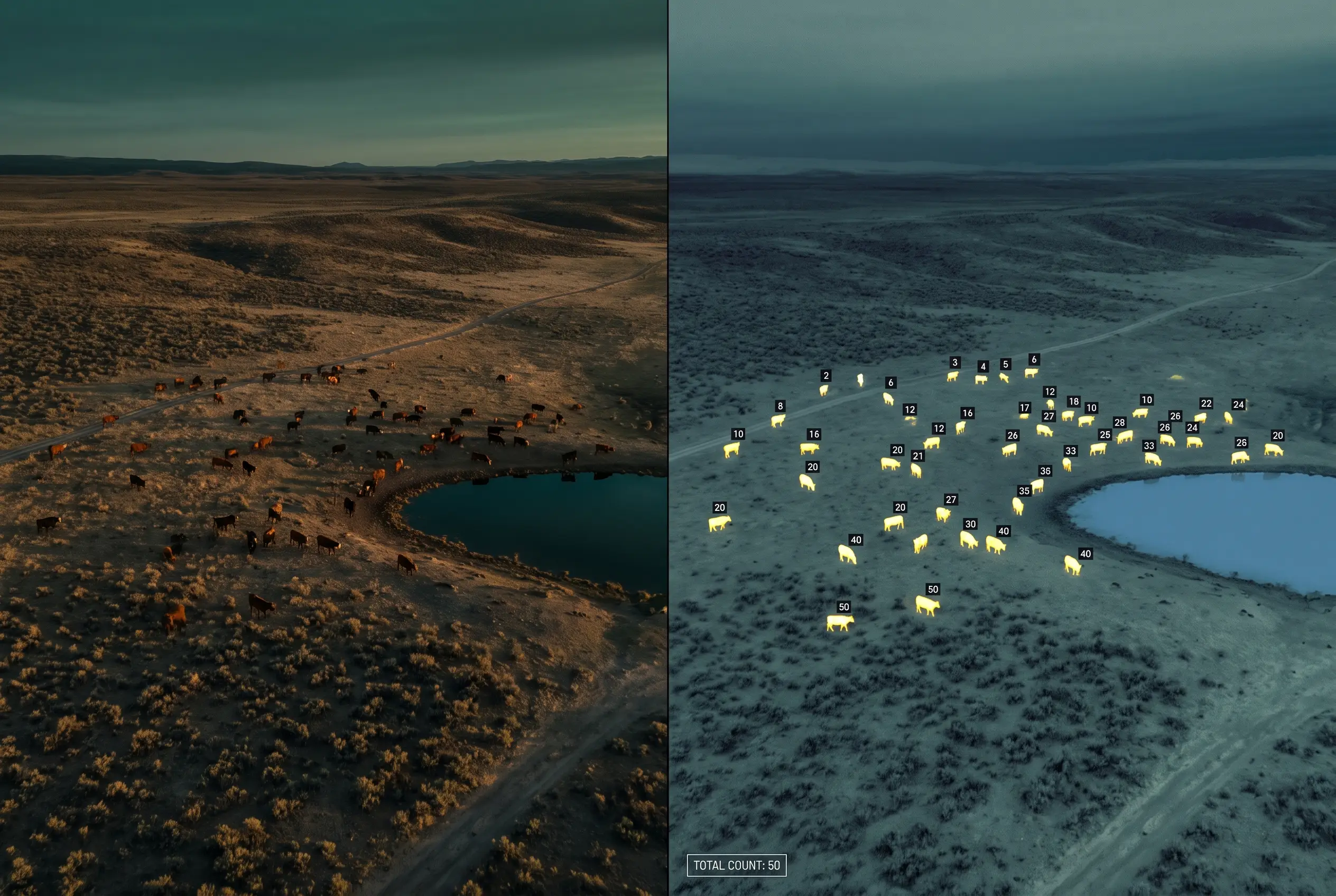
Ranching & wildlife
The whole property in one dated aerial record, ground, water, and infrastructure.
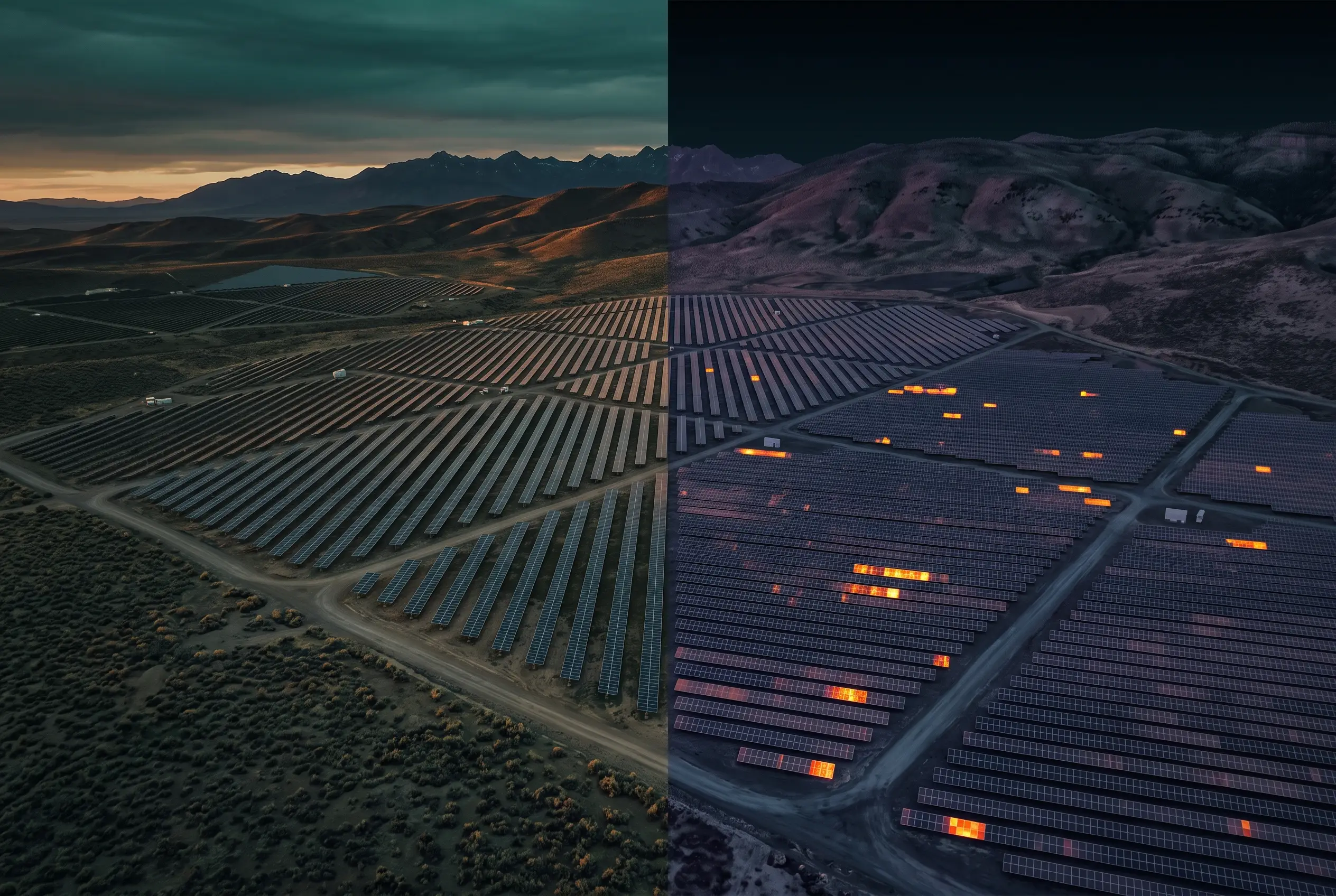
Solar & renewables
As-built against design, from first grading to interconnection.
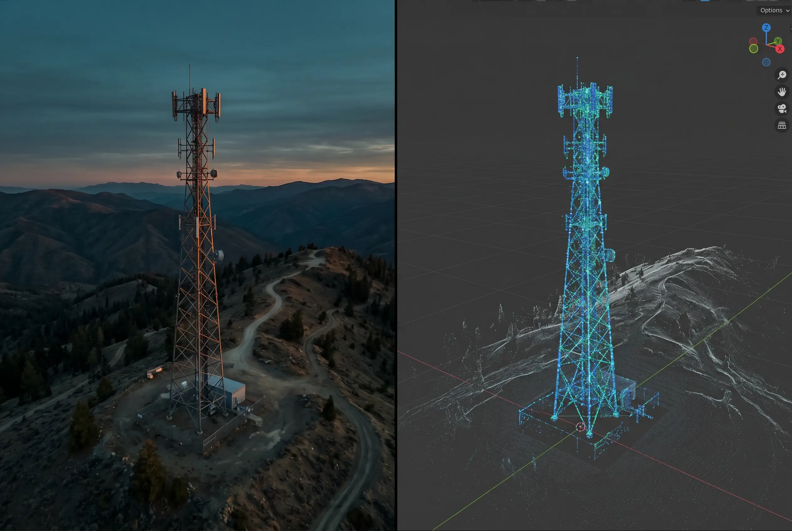
Telecom & towers
Tower, antenna, and mount condition without putting a climber up.
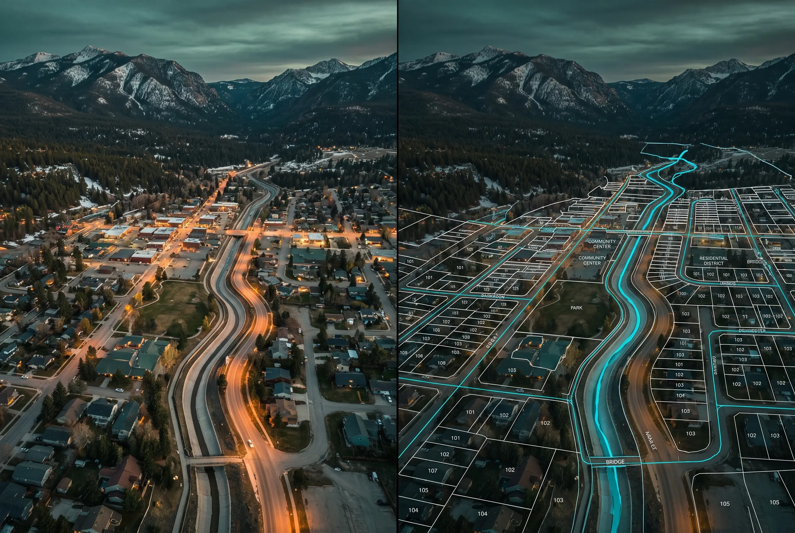
Public sector & municipal
A standards-conformant record for planning and capital.
| Product | What it tells the client | Example deliverable | Who uses it |
|---|---|---|---|
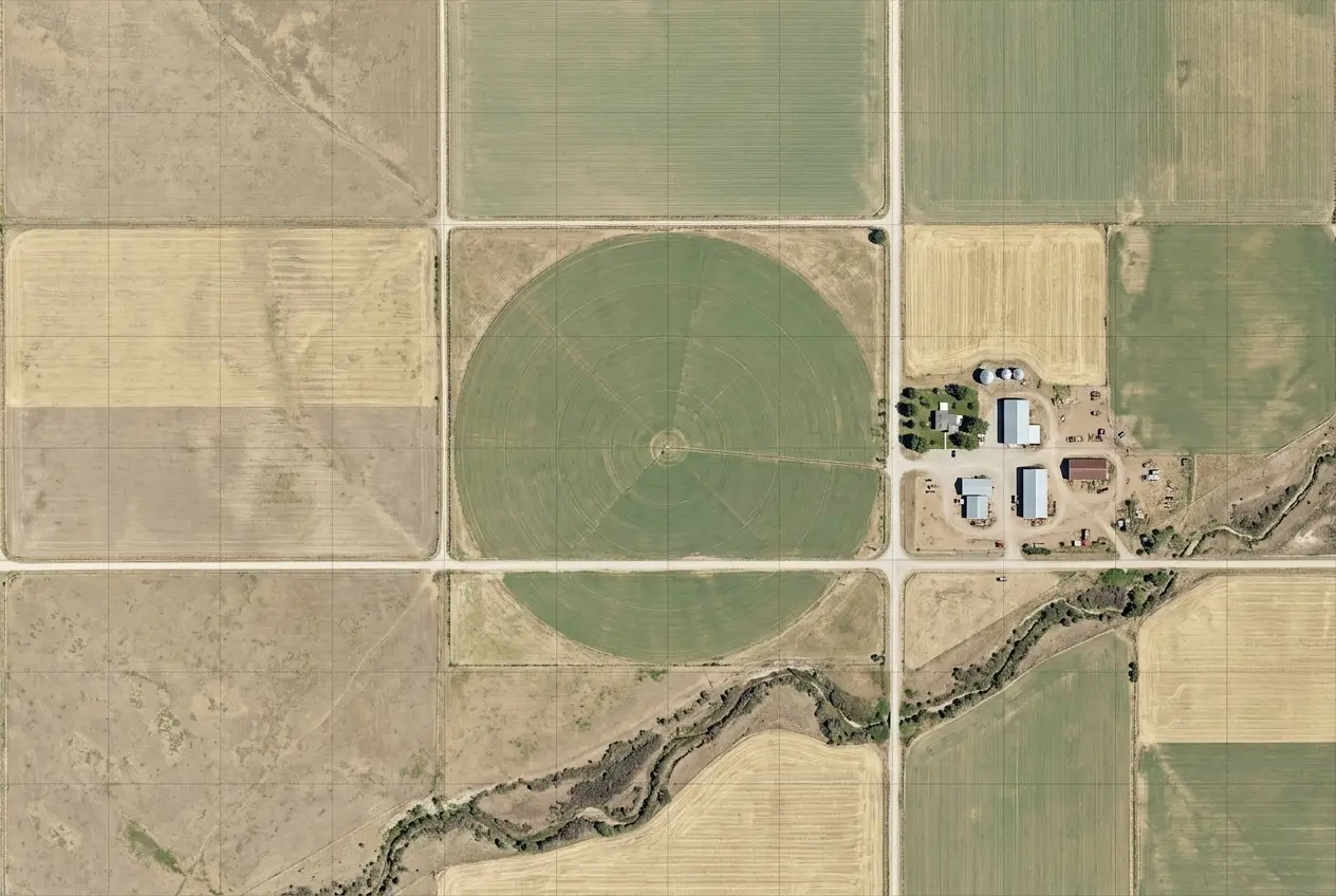
| Orthomosaicthe photograph, made measurable | Distances, areas, and site condition you can measure off directly, a dated visual record of the whole property. | 18-acre commercial site · 2 cm/px · 4.2 GB GeoTIFF | Civil & construction · Real estate · Public sector · Mining |
| Terrain · DTMground classified, surfaces removed | Grading, drainage, and cut/fill against design: the true shape of the ground. | 240-acre civil site · tested to ASPRS, RMSE reported · DXF + GeoTIFF | Civil & construction · Land surveyors · Public sector · Mining |
| Surface · DSMfirst surface kept | Heights of buildings, canopy, and obstructions, for line-of-sight, shadow, and clearance. | Mid-rise downtown · structures + canopy · classified LAS | Telecom & towers · Solar & renewables · Architecture · Public sector |
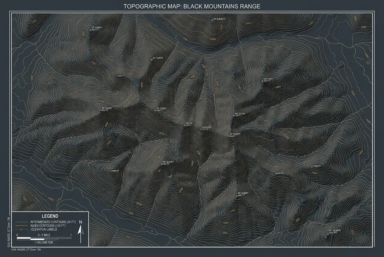
| Contoursderived from the terrain model | The land's form as design-ready linework: slopes, benches, and grade. | 47-acre site · 1 ft intervals · DXF for Civil 3D | Civil & construction · Land surveyors · Architecture |
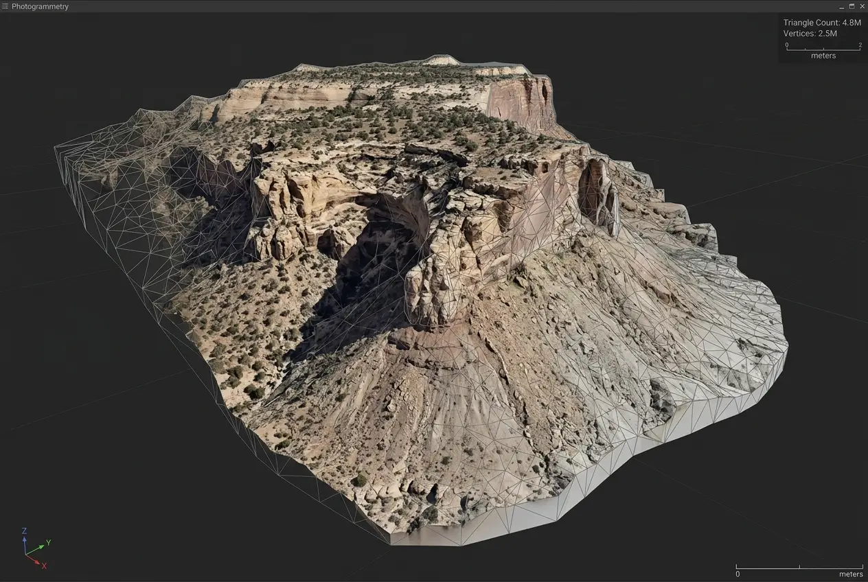
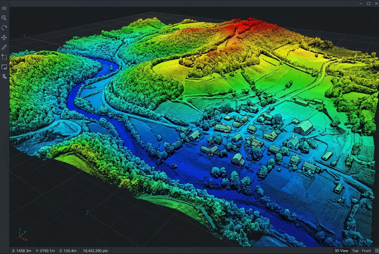
| Point Cloudmillions of measured 3D points | Sections, clearances, and as-built geometry from any angle. | 12M+ points · classified · BIM-ready · 1.8 GB LAZ | Civil / BIM · Mining · Architecture |
| 3D Meshsurfaces reconstructed and photo-textured | A shareable, true-to-life 3D for visualization, stakeholder review, and measurement. | Resort property · OBJ textured · 2.8 GB · web-viewable | Real estate & hospitality · Architecture · Public sector |
| Volumetricssurfaces differenced against a base | How much material is on the ground and how it moved since last cycle, for reconciliation and audit. | 8 stockpiles · monthly cycle · CSV + PDF cycle report | Mining & aggregates · Civil & construction · Insurance |
Example deliverables are representative of delivered work; every engagement is scoped to its own site and decision.
Map your project.
Get a quote.
15-minute reply. Fixed price. Lifetime data support.