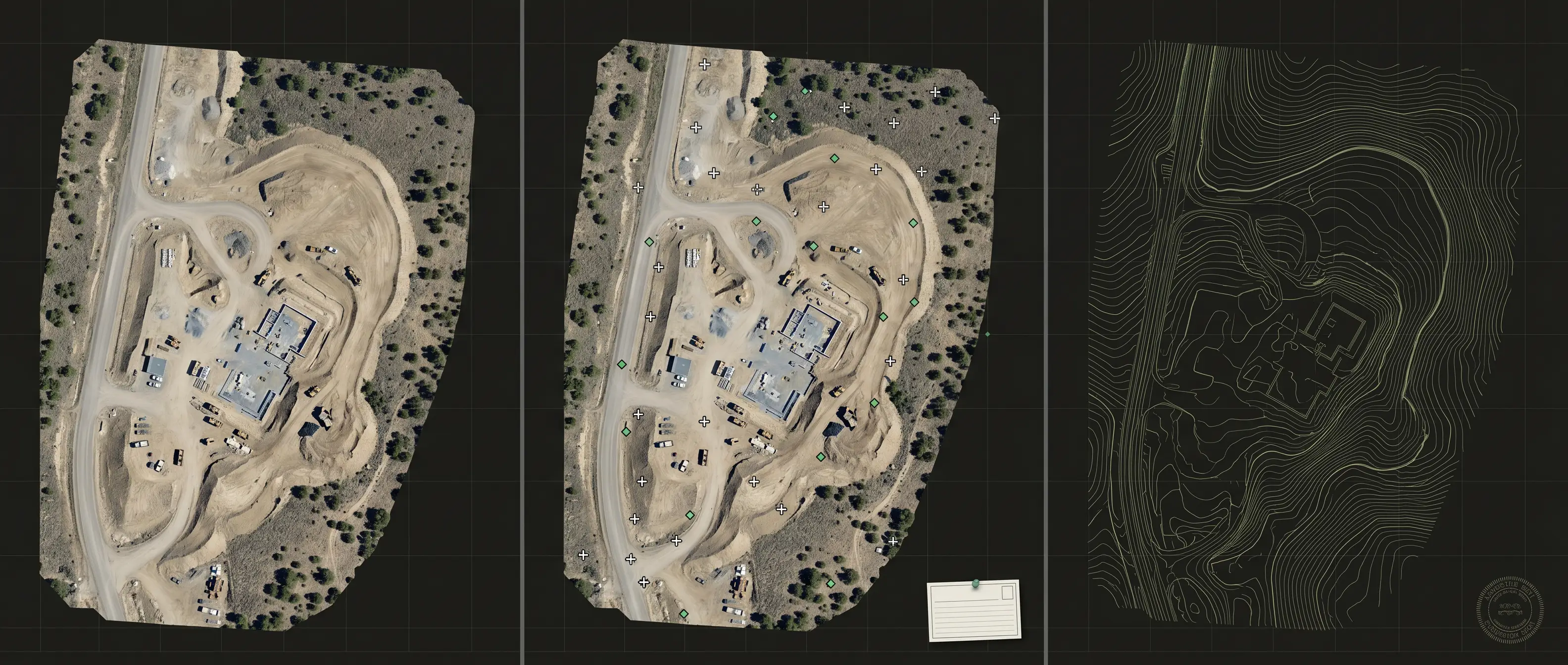
Resolution is not accuracy.
Image detail and point density describe how much can be seen or reconstructed. Positional accuracy describes agreement with accepted reference values under a stated method.
How the numbers are reported →

We do not publish one blanket accuracy figure. Site conditions, sensor, flight design, control, checkpoints, product, and intended use determine what is appropriate and what can be proven.
A professional handoff keeps visual detail, positional evidence, survey responsibility, and known limits separate. The full methods stay available when the decision needs more scrutiny.
Compare the three modes →Image detail and point density describe how much can be seen or reconstructed. Positional accuracy describes agreement with accepted reference values under a stated method.
How the numbers are reported →Produced-to, independently tested, and PLS-coordinated work are scoped and reported as distinct commitments. A sharp image does not choose the right mode on its own.
Verify an existing dataset →On-site processing checks coverage and capture completeness before demobilization, while the crew can still address a missing or weak area.
See field processing →Versions, agreed deliverables, and in-scope support stay connected in the client portal. Raw source imagery follows a separate, stated retention schedule.
Read Lifetime Data Support →ASPRS: the American Society for Photogrammetry and Remote Sensing, publishes the positional-accuracy standards the mapping industry works to. The 2024 framework separates how a dataset is produced from how its accuracy is tested, and state law and project requirements separately govern professional survey responsibility.
We keep those two separate on purpose. A map can be produced to the standard's workflow without an independent accuracy test, or it can be tested against surveyed checkpoints and reported with a measured RMSE. They are different commitments, and your project decides which one you need, which is also why we never quote a blanket accuracy number we haven't tested for your site.
Every quote names which one applies to your deliverable.
Acquired and processed using the ASPRS workflow agreed for the project. Ground control may or may not be part of the scope. Resolution is stated, but no independent tested accuracy is implied.
Surveyed ground control and independent checkpoints are used to compute and document project RMSE against the agreed class. The report states the checkpoint count and any limitation.
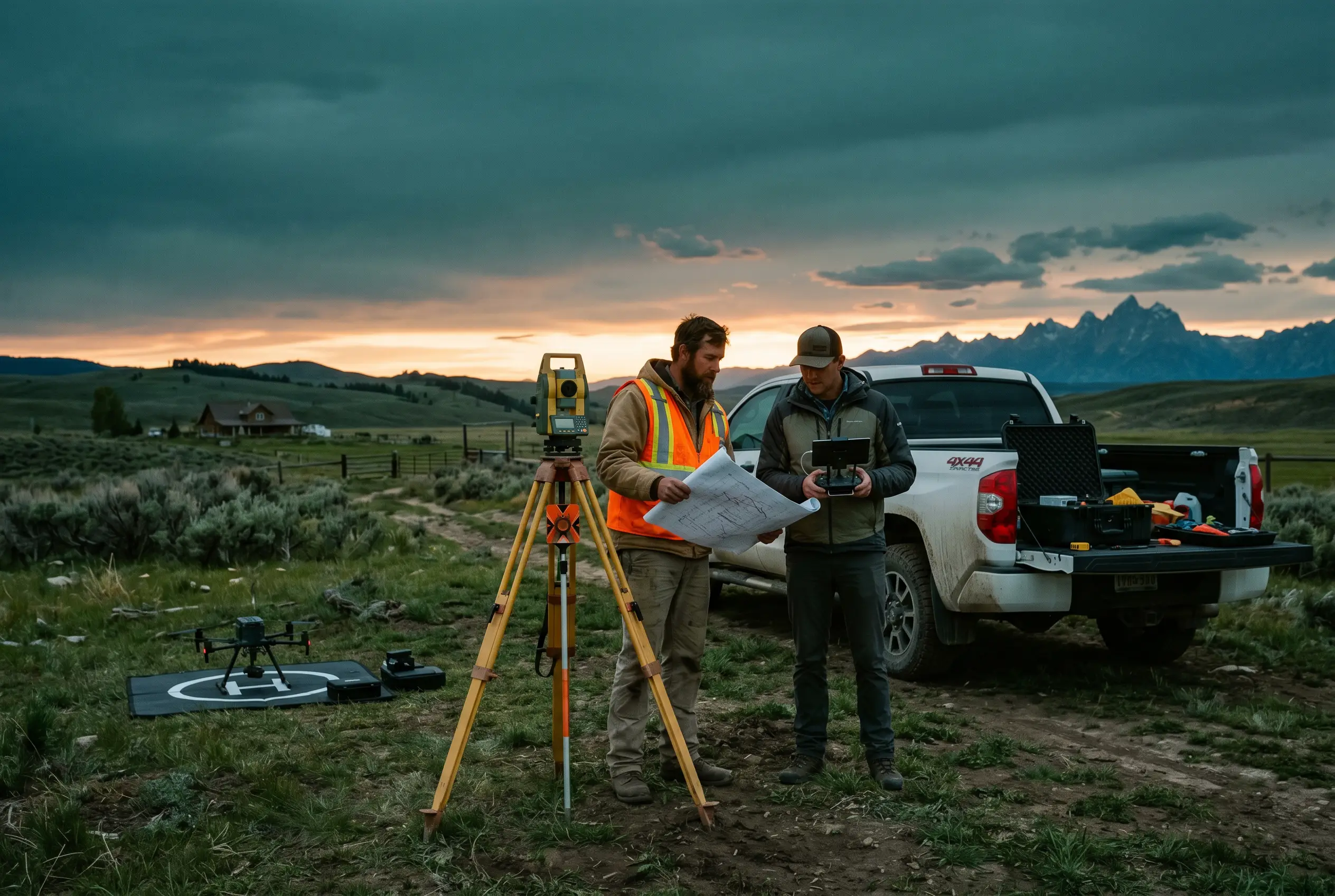
Stamped and recordable deliverables are not an Outlook UAS product, and we do not sell them as a tier of our own. Where a project needs one, the work is routed to a licensed Professional Land Surveyor who holds responsible charge. Where you already work with a surveyor, we supply the capture and processing to them directly.
The same product type can support different decisions. The intended use determines whether methodology alone is appropriate, independent testing is needed, or a licensed professional must be involved.
| Deliverable | Typical starting mode | When testing is added | Professional boundary |
|---|---|---|---|
| Orthomosaic, DSM, 3D mesh | Produced to ASPRS with GSD and method stated | When positional evidence is required for the intended decision | Not a recordable survey product unless coordinated and accepted through a PLS |
| Terrain model and contours | Produced to ASPRS for mapping and design context | When civil review, contract, or downstream use requires documented checkpoint evidence | Recordable or stamped work is coordinated through a PLS |
| Volumetrics and change | Compared against an accepted baseline with method disclosed | Differenced against a surveyed reference where the quantity must withstand independent review. | Legal quantity or survey certification requirements are resolved with the responsible professional |
| Legal or recordable plats | Not an unlicensed aerial-only deliverable | Testing supports the professional workflow but does not replace licensure | Where offered, a licensed PLS holds responsible charge and stamps where required |
Words we avoid: undefined "grade" labels and other shortcuts that blur the evidence. A client should be able to see the method, evidence, class, and responsible professional rather than infer them from a label.
A dependable accuracy statement is specific to one dataset, tested area, version, checkpoint plan, and reporting method.
GSD describes the ground area represented by an image pixel. It matters for feature visibility and product design, but a small GSD alone does not prove positional accuracy.
Ground control may influence the model. Independent checkpoints are withheld from adjustment so they can test the result. Using the same point for both purposes weakens the independence of the claim.
Root Mean Square Error summarizes checkpoint residuals under the stated method. The report should identify the tested class, coordinate reference system, data version, area, and checkpoint count.
A full accuracy statement rests on 30 independent checkpoints. A lower count can still inform a decision, but the reduced count must be disclosed and interpreted accordingly.
Tell us what the result will support, who will review it, and whether a professional stamp or independent accuracy statement is required. We will name the method and role boundary in the quote.